Blog Article
Precision Mapping: High-Resolution Orthomosaic Imagery for Your Projects
Unlock unparalleled site insights with high-resolution orthomosaic imagery. Onshore Aerial Solutions provides precise, geo-referenced aerial mapping services for commercial, construction, and property management needs.
Precision Mapping: High-Resolution Orthomosaic Imagery for Your Projects
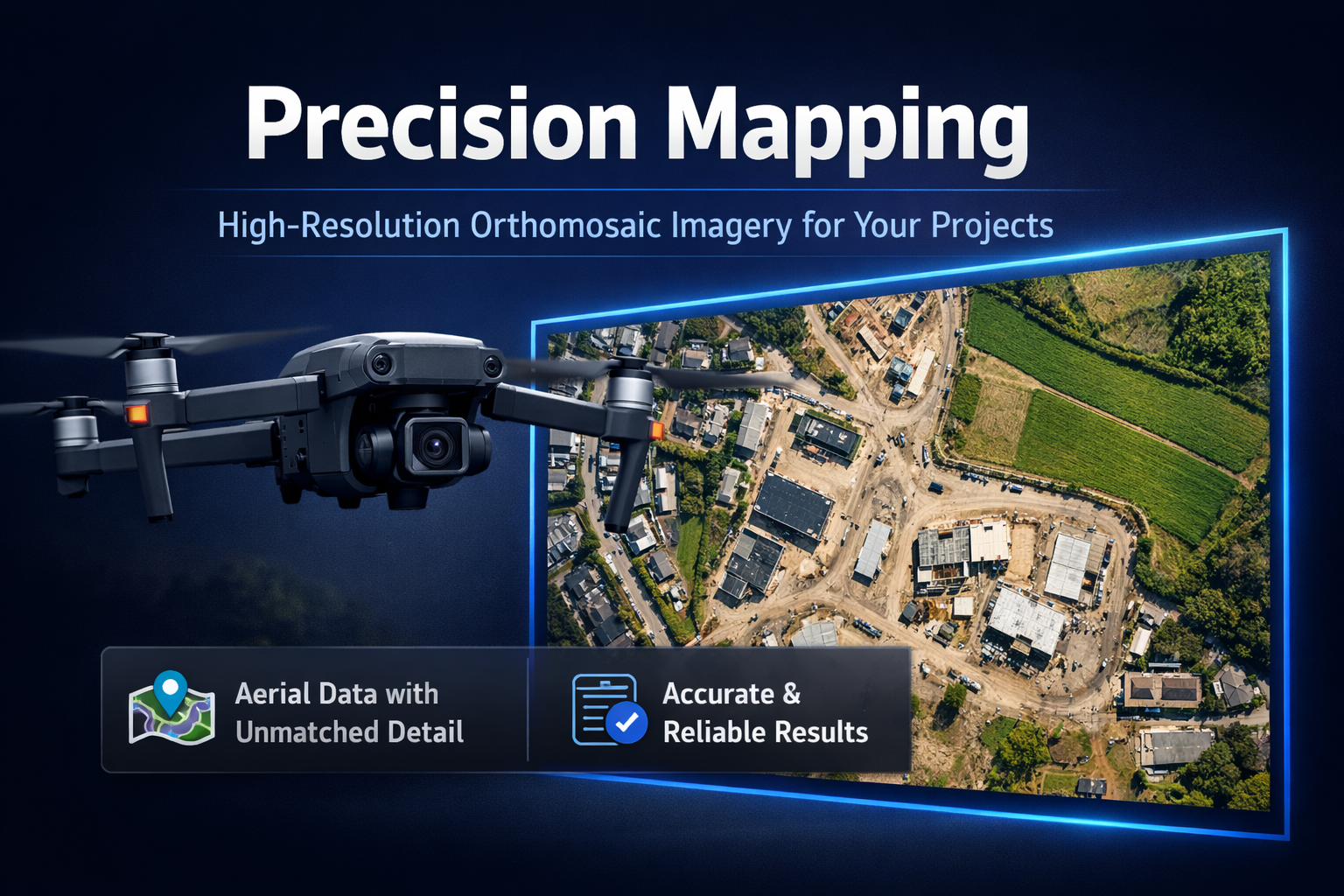
In today's fast-paced commercial and construction environments, having a crystal-clear, accurate, and up-to-date visual understanding of your project site is not just an advantage—it's a necessity. Traditional methods of site documentation often fall short, providing fragmented perspectives or outdated information that can lead to costly errors, delays, and misinformed decisions. This is where high-resolution orthomosaic imagery from Onshore Aerial Solutions transforms your operations, offering an unprecedented level of detail and accuracy for comprehensive site visualization. Our professional aerial mapping services leverage cutting-edge drone technology to create seamless, geo-referenced images that are far more than just pretty pictures; they are powerful tools for analysis, planning, and progress monitoring.
This article delves into the world of orthomosaic imagery, explaining what it is, why its precision matters across various B2B sectors, and how Onshore Aerial Solutions crafts these impeccable maps. We will explore the diverse applications that make this technology indispensable for property managers, construction teams, insurance adjusters, and facility managers alike. Ultimately, we’ll show you how this advanced aerial data transforms raw visual information into actionable site intelligence, empowering you to make smarter, data-driven decisions that propel your projects forward. Discover how a true and accurate visual record can safeguard your investments and optimize your workflow.
What is Orthomosaic Imagery and Why Does It Matter?
At its core, orthomosaic imagery is a composite image created by stitching together hundreds, or even thousands, of individual high-resolution aerial photographs. Unlike standard aerial photos that suffer from perspective distortion (objects appearing to lean away from the center of the image), an orthomosaic image is geometrically corrected to be "orthorectified." This means it has been precisely aligned and scaled to remove all distortions caused by camera tilt and terrain variations, making it as accurate as a map. Every pixel in an orthomosaic image represents a true geographic location, allowing for precise measurements of distance, area, and volume.
The "why it matters" lies in this unparalleled precision and comprehensive scope. For B2B clients, this translates into several critical benefits:
- Unrivaled Accuracy: Orthomosaic maps provide a geographically correct representation of the earth's surface. This allows for accurate measurements directly from the image, unlike standard aerial photos where measurements can be skewed.
- Comprehensive Overview: A single, seamless image provides a complete visual context of an entire site, revealing relationships and conditions that might be missed in piecemeal photographs or ground inspections.
- Repeatability and Comparability: Because these images are geo-referenced, they can be precisely overlaid with GIS data, CAD files, or previous orthomosaic maps. This enables powerful time-series analysis for monitoring change over time with high confidence.
- High Resolution: Our drones capture imagery at resolutions far exceeding satellite or traditional aerial photography, often down to sub-centimeter per pixel, revealing minute details crucial for detailed inspections and assessments.
This advanced form of aerial mapping services isn't just about pretty pictures; it's about providing a foundational, verifiable data layer for critical decision-making across complex projects and property portfolios.
Applications Across Commercial & Construction Industries
The practical applications of high-resolution orthomosaic imagery are extensive and transformative across various B2B sectors. For property managers and commercial property owners, orthomosaics offer an unparalleled view of their assets, enabling proactive maintenance planning and detailed condition assessments. A single, up-to-date map can highlight roof damage, drainage issues, or the condition of expansive grounds, often before they become major problems.
In the construction industry, precise site visualization becomes a cornerstone for efficiency and accountability. Project managers utilize orthomosaics for:
- Pre-construction planning: Assessing site topography, identifying potential challenges, and optimizing logistics.
- Ongoing progress monitoring: Regular captures allow for accurate tracking of earthwork, material stockpiles, and construction phases. This feeds into our specialized Optimize Your Projects: Drone-Based Construction Progress Monitoring services, ensuring projects stay on schedule and budget.
- Post-construction documentation: Creating a verifiable "as-built" record for handover and future reference.
Insurance adjusters and facility managers also benefit immensely. For rapid and accurate claims processing, particularly after significant events, orthomosaic imagery provides a comprehensive, objective record of damage over large areas. This is a critical component of our Rapid & Accurate Aerial Damage Assessment and Reporting Services, streamlining the assessment process and reducing disputes. Similarly, facility managers can use these maps for managing large campuses, planning utility routes, or ensuring compliance with safety regulations. The ability to overlay design plans with real-world conditions means better planning, faster problem identification, and more efficient resource allocation.
Our Process: Capturing & Processing Impeccable Maps
Creating truly impeccable, high-resolution orthomosaic imagery is a sophisticated process that extends far beyond simply flying a drone and taking pictures. At Onshore Aerial Solutions, our approach is meticulously planned and executed, ensuring the highest standards of data quality and accuracy.
Our process begins with pre-flight planning that leverages advanced software to design precise flight paths. This ensures optimal image overlap (typically 70-80% front and side overlap) for seamless stitching and robust 3D model generation. We utilize professional-grade, enterprise-level drones equipped with high-resolution cameras and integrated GPS systems. These aren't hobby drones; they are engineered for stable flight, precise navigation, and consistent data capture under varying conditions. During the flight, the drone autonomously captures hundreds, if not thousands, of geotagged images, often complemented by Ground Control Points (GCPs) strategically placed on the site to achieve survey-grade accuracy.
Once the aerial data is collected, the real magic of processing begins. The raw images are fed into specialized photogrammetry software. This software performs complex computations, using sophisticated algorithms to:
- Identify key features: Matching common points across multiple overlapping images.
- Bundle adjustment: Refining the camera positions and orientations for every image.
- Orthorectification: Correcting geometric distortions to create a truly planimetrically correct image.
- Stitching: Seamlessly merging all individual, corrected images into one large, continuous orthomosaic map.
The result is a single, massive image file where every pixel is accurately placed according to real-world coordinates. This detailed, professional data capture and processing ensures that the orthomosaic imagery we deliver is not only visually stunning but also scientifically accurate, ready for precise measurements and integration into your existing mapping and GIS systems.
Transforming Data into Actionable Site Intelligence
The true power of high-resolution orthomosaic imagery lies in its transformation from raw data into actionable site intelligence. An orthomosaic map is more than just a picture; it's a foundation for sophisticated analysis that empowers better decision-making. Once processed, these maps can be integrated with various software platforms, unlocking a wealth of analytical possibilities.
For example, our orthomosaic maps can be imported into GIS (Geographic Information System) software, allowing you to layer different types of data, such as property boundaries, utility lines, environmental zones, or proposed development plans. This composite view provides a holistic understanding of the site, revealing potential conflicts or opportunities that might otherwise go unnoticed. Engineers can use the maps to calculate cut and fill volumes for earthwork, surveyors can verify existing conditions against blueprints, and environmental managers can monitor changes in vegetation or water flow over time. The precision of the imagery supports highly accurate computations and assessments crucial for regulatory compliance and project accountability.
Furthermore, these visual assets become critical components of comprehensive reporting. Our commitment to providing Unlock Critical Insights: Professional Visual Intelligence Services for B2B means we don't just deliver data; we help you interpret it. We can generate detailed visual intelligence reports that highlight specific features, flag anomalies, and present data in an easily digestible format for stakeholders. This capability is particularly valuable for documenting progress, assessing damage, or conducting comprehensive property condition documentation for commercial assets. By turning complex visual data into clear, concise, and actionable insights, Onshore Aerial Solutions helps you optimize operations, mitigate risks, and gain a competitive edge.
Frequently Asked Questions
What is the difference between an orthomosaic map and a regular aerial photo?
A regular aerial photo has perspective distortions (like objects leaning away from the center) and isn't typically scaled accurately. An orthomosaic map is a composite of many aerial photos, geometrically corrected and geo-referenced to remove all distortions, making it a true-to-scale, measurable map that can be accurately overlaid with other spatial data.
How accurate is your orthomosaic imagery?
Our orthomosaic imagery can achieve sub-centimeter per pixel resolution and often centimeter-level positional accuracy, especially when combined with Ground Control Points (GCPs). This level of precision makes it suitable for detailed measurement, analysis, and integration with engineering and GIS systems.
What industries benefit most from orthomosaic mapping?
Industries such as construction, commercial property management, real estate development, insurance, mining, and infrastructure inspection benefit significantly. Anywhere a large area needs accurate, high-resolution visual documentation and measurement over time can leverage orthomosaic imagery.
Can orthomosaic maps be integrated with my existing software?
Yes, our orthomosaic maps are delivered in standard file formats (e.g., GeoTIFF) that are compatible with most GIS, CAD, and planning software platforms. This allows for seamless integration into your current workflows and analysis tools.
Is Onshore Aerial Solutions a surveying company?
No, Onshore Aerial Solutions is not a surveying company. We are a professional visual intelligence, aerial data collection, and information management service company. While our orthomosaic imagery provides highly accurate spatial data, it complements traditional surveying by offering rapid, comprehensive visual documentation for planning, monitoring, and assessment purposes.
Conclusion
The demand for precise, actionable visual data in commercial and industrial operations has never been greater. High-resolution orthomosaic imagery stands out as a critical technology, offering an unparalleled level of detail, accuracy, and comprehensive site visualization. By transforming disparate aerial photographs into a single, seamless, and geometrically corrected map, Onshore Aerial Solutions empowers businesses to overcome the limitations of traditional documentation methods and make truly informed decisions. From optimizing construction timelines and assessing property conditions to documenting damage and enhancing overall facility management, the benefits are clear and measurable.
Investing in professional aerial mapping services means investing in clarity, efficiency, and foresight for your projects. We provide the tools and expertise to not just see your site, but to understand it at a granular level, turning complex visual data into tangible strategic advantages. Let Onshore Aerial Solutions help you unlock the full potential of your project sites with our advanced orthomosaic capabilities.
Ready to see your projects with unparalleled clarity and precision? Request a Consultation today and discover how our high-resolution orthomosaic imagery can transform your operations.