Blog Article
Optimize Your Projects: Drone-Based Construction Progress Monitoring
Revolutionize your construction projects with drone-based progress monitoring. Gain real-time insights, improve decision-making, and ensure project timelines with precise visual intelligence.
Optimize Your Projects: Drone-Based Construction Progress Monitoring
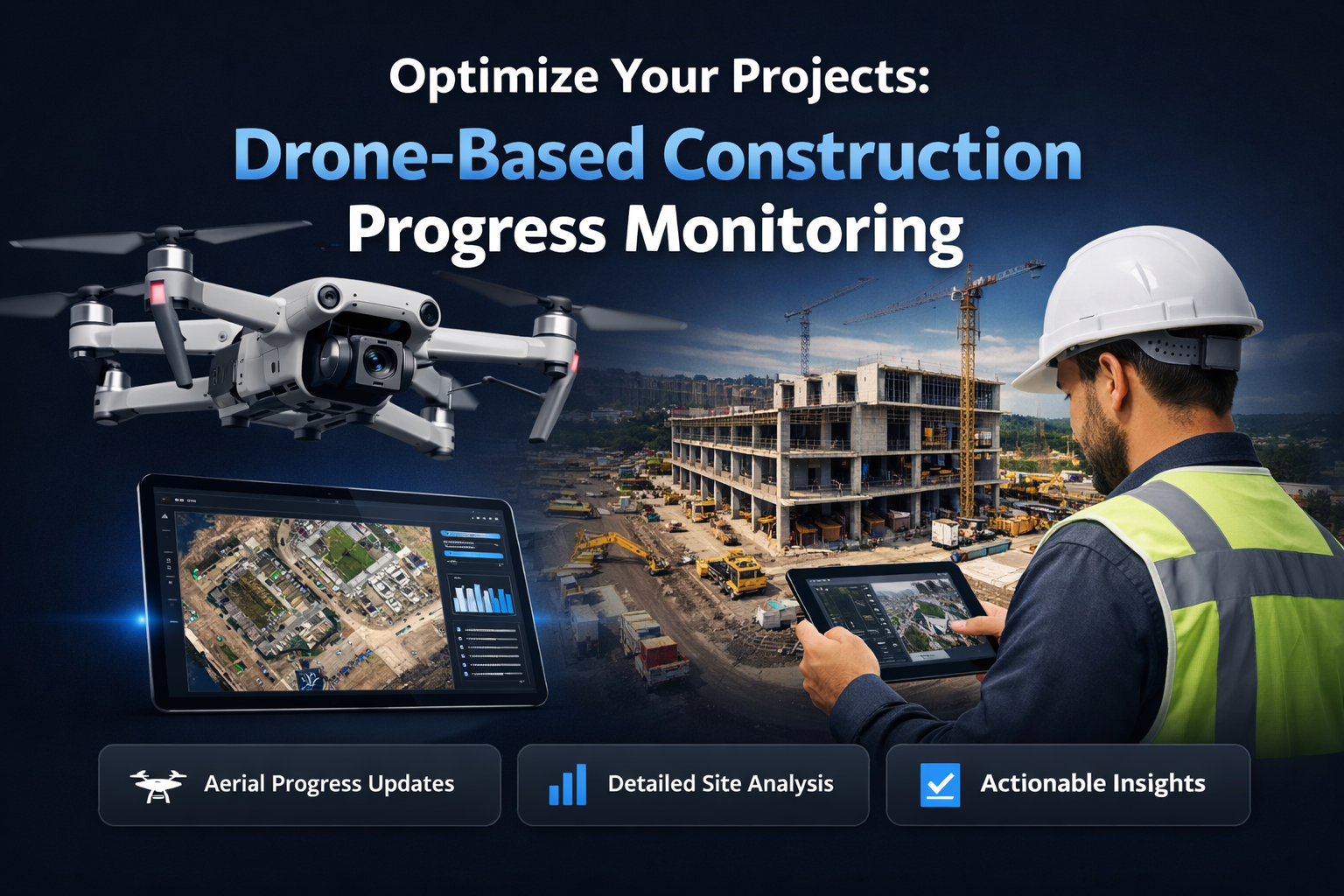
In the fast-paced world of construction, staying on schedule and within budget is paramount. Traditional methods for construction progress monitoring often fall short, offering delayed insights, limited perspectives, and requiring time-consuming manual site visits. This can lead to critical delays, costly reworks, and a lack of transparency for all stakeholders involved. Imagine having a comprehensive, up-to-the-minute visual record of your entire construction site, accessible from anywhere, providing the actionable data you need to make informed decisions.
That's precisely what professional drone-based construction progress monitoring delivers. By leveraging advanced aerial data collection, construction managers, property owners, and development teams can transform how they track, manage, and report on project milestones. This article will explore the tangible benefits of integrating drone technology into your workflow, from real-time insights and enhanced oversight to significant cost savings and improved accountability. Discover how this sophisticated approach to visual intelligence can keep your projects on the optimal path, ensuring efficiency and success from groundbreaking to handover.
Real-Time Insights for Advanced Construction Management
Effective construction management hinges on timely and accurate information. Delays in data collection or analysis can quickly cascade into major project setbacks. Professional drone-based solutions provide an unprecedented level of real-time visibility, capturing high-resolution imagery and data across entire construction sites with remarkable speed and precision. This continuous flow of visual intelligence is crucial for proactive decision-making and dynamic project adjustments.
Bridging the Information Gap
Traditional site inspections can be slow, costly, and often only capture a fraction of the necessary information. Drones, on the other hand, can cover vast areas quickly, collecting consistent and repeatable data points. This bridges the critical information gap between planned progress and actual on-site conditions. Project managers receive regular updates, allowing them to compare current states against blueprints, schedules, and previous inspection data, ensuring every element is progressing as expected.
The Power of High-Resolution Data
The quality of data directly impacts the quality of decisions. Our drone solutions deliver ultra-high-resolution RGB and thermal imagery, providing granular detail that is impossible to achieve from the ground. This visual fidelity allows for meticulous scrutiny of structural components, material stockpiles, equipment placement, and even thermal anomalies that might indicate emerging issues. For a deeper understanding of how comprehensive visual data can transform your operations, read our article on Unlock Critical Insights: Professional Visual Intelligence Services for B2B. This level of detail empowers stakeholders to identify potential problems before they escalate, mitigating risks and preventing costly delays.
How Drone Monitoring Enhances Project Oversight
Optimizing project oversight requires more than just periodic check-ins; it demands a systematic approach to data collection, analysis, and reporting. Drone-based construction monitoring provides this comprehensive system, elevating your ability to manage complex projects with greater confidence and control. By automating data capture and providing visual timelines, project oversight becomes more objective and less prone to human error.
Automated Data Capture and Analysis
Gone are the days of manual measurements and tedious photographic documentation. Drones equipped with high-precision GPS and advanced cameras can execute pre-programmed flight paths, ensuring consistent coverage and data capture over time. Specialized software then processes this data, generating 2D orthomosaic maps, 3D models, and point clouds. These sophisticated outputs allow for accurate volume calculations of earthworks, tracking of material delivery, and precise measurement of installed components, significantly enhancing the accuracy of your drone construction tracking.
Visual Documentation Over Time
One of the most powerful features of drone-based monitoring is its ability to create a historical visual record of the construction site. By conducting regular flights (daily, weekly, or monthly), a dynamic project timeline visual is generated. This timeline serves as an indisputable account of progress, allowing teams to:
- Verify work completion at different phases.
- Document potential issues or changes over time.
- Provide visual evidence for compliance and contractual obligations.
- Offer transparency to investors and clients.
Early Problem Detection
Catching errors early is critical to maintaining project timelines and budgets. Drones excel at providing a bird's-eye view that can reveal inconsistencies, bottlenecks, or deviations from the plan that might go unnoticed from the ground. Whether it's incorrect rebar placement, unexpected water pooling, or equipment parked in the wrong area, these aerial insights enable project managers to intervene swiftly. This proactive approach to problem-solving minimizes disruptions and keeps the project moving forward efficiently.
Key Benefits: Cost Savings, Efficiency, and Accountability
Implementing drone-based construction progress monitoring is not just about adopting new technology; it's about investing in a strategy that yields significant returns in terms of financial savings, operational efficiency, and enhanced accountability across the board. These benefits directly impact your bottom line and improve project outcomes.
Maximizing Budget and Resource Allocation
By providing precise data on site conditions and progress, drones help optimize resource allocation. Project managers can accurately assess material usage, identify redundant efforts, and ensure equipment is deployed efficiently. This data-driven approach minimizes waste and prevents costly over-ordering or under-utilization of resources. For example, accurate volume calculations derived from orthomosaic imagery can prevent costly over-excavation or over-delivery of aggregates, directly impacting your project budget.
Streamlining Workflows and Reducing Delays
The real-time insights provided by drone monitoring enable construction teams to identify and address bottlenecks almost immediately. This translates to a more agile and responsive workflow, reducing the likelihood of costly delays. Tasks can be sequenced more logically, and dependencies can be managed with greater precision. Moreover, the ability to remotely monitor multiple sites concurrently saves valuable time that would otherwise be spent on travel and manual inspections, boosting overall productivity. This also ties into comprehensive assessments of existing structures as covered in our guide to Advanced Aerial Building Inspections: Comprehensive Condition Assessments, ensuring that modifications or new constructions integrate seamlessly with existing infrastructure.
Enhancing Stakeholder Communication and Accountability
Clear communication is the bedrock of successful construction projects. Drone-captured data, presented in intuitive visual reports, offers an unbiased and objective record of progress. This fosters transparency among all stakeholders—clients, investors, contractors, and regulatory bodies. Visual intelligence minimizes disputes, clarifies responsibilities, and holds all parties accountable for their respective contributions. This verifiable documentation is also invaluable for insurance claims and legal matters, should they arise.
Integrating Visual Data into Your Construction Workflow
The true power of drone-based progress monitoring lies in its seamless integration into your existing construction workflows. It's not just about collecting data; it's about making that data actionable and accessible to the right people at the right time. Our services are designed to complement and enhance your current project management systems, providing a unified view of your project's lifecycle.
Seamless Data Integration with Existing Systems
The visual data, maps, and models generated from drone flights can be easily integrated into various construction management software platforms, including BIM (Building Information Modeling) and GIS (Geographic Information Systems). This allows your teams to overlay drone data with design plans, pinpointing discrepancies, tracking changes, and ensuring compliance. By feeding accurate, up-to-date visual information directly into your digital models, you maintain a continuously updated, digital twin of your construction site.
Customizable Reporting for Key Stakeholders
Every stakeholder has unique information needs. Our visual intelligence reporting is highly customizable, allowing you to generate tailored reports that focus on specific aspects of the project. Whether it's a high-level progress overview for investors or a detailed structural analysis for engineers, the data can be presented in an easily digestible format. These reports can include time-lapse videos of construction progression, side-by-side comparisons with previous flights, and detailed measurements, providing clarity and confidence to all parties.
Leveraging Orthomosaic Imagery for Site Planning
Beyond progress tracking, high-resolution orthomosaic imagery is a powerful tool for initial site planning and ongoing logistics. These geographically accurate, "true-to-scale" maps provide a comprehensive overview of the construction site, enabling better planning for equipment placement, material staging, and safety protocols. For detailed applications of this technology, explore our insights on Precision Mapping: High-Resolution Orthomosaic Imagery for Your Projects. This foundational data ensures that your planning is built on the most current and accurate representation of your project environment.
Frequently Asked Questions About Drone Construction Monitoring
Q: How often should drone monitoring flights be conducted on a construction site?
A: The frequency depends on the project's phase, complexity, and specific needs. For fast-moving projects or critical phases, daily or weekly flights might be beneficial. For slower projects or less critical stages, bi-weekly or monthly flights may suffice. We work with clients to establish an optimal schedule that balances data needs with cost-effectiveness.
Q: What types of data do drones collect for construction progress monitoring?
A: Drones can collect various types of data, including high-resolution RGB imagery for visual documentation, thermal imagery for heat loss or electrical inspections, and LiDAR data for highly accurate 3D models and elevation mapping. This data is then processed into orthomosaic maps, 3D point clouds, digital surface models (DSMs), and volume calculations.
Q: Is drone-based construction monitoring expensive compared to traditional methods?
A: While there's an initial investment, drone monitoring often proves more cost-effective in the long run. It reduces the need for expensive, time-consuming manual surveys, minimizes travel costs for site visits, and significantly reduces the risk of costly delays and reworks by catching issues early. The return on investment often comes from improved efficiency and risk mitigation.
Q: How does drone monitoring improve safety on construction sites?
A: Drones significantly enhance safety by reducing the need for personnel to access hazardous or hard-to-reach areas for inspections. They can safely inspect tall structures, dangerous terrain, or active work zones from a distance, minimizing exposure to risks and complying with safety regulations.
Q: Can drone data integrate with my existing project management software?
A: Yes, our visual intelligence reporting and data outputs are designed for compatibility. We can provide data in formats that easily integrate with most common construction management, BIM (Building Information Modeling), and GIS (Geographic Information Systems) platforms, ensuring seamless adoption into your current digital workflow.
Conclusion
The construction industry is continually evolving, and staying competitive means embracing technologies that drive efficiency, accuracy, and accountability. Professional drone-based construction progress monitoring is no longer a luxury but a strategic imperative for projects aiming for optimal outcomes. By providing unparalleled visual intelligence, real-time data, and comprehensive documentation, this technology empowers construction managers and stakeholders to make proactive, informed decisions, mitigate risks, and ultimately deliver projects on time and within budget.
Onshore Aerial Solutions LLC specializes in delivering precise, actionable visual data, positioning ourselves as a serious inspection and documentation provider. We are committed to helping you optimize your project timelines, reduce costs, and elevate communication across your construction ventures. Don't let your projects be hampered by outdated monitoring techniques. Experience the future of construction management today. For immediate and precise incident response, also consider our Rapid & Accurate Aerial Damage Assessment and Reporting Services which can be crucial during critical project phases.
Ready to transform your construction project oversight? Request a Consultation with Onshore Aerial Solutions to discover how our expert drone services can benefit your next project.