Blog Article
Rapid & Accurate Aerial Damage Assessment and Reporting Services
Leverage advanced aerial damage assessment and visual intelligence reporting services for swift, precise property damage documentation, accelerating post-disaster recovery and insurance claims.
Rapid & Accurate Aerial Damage Assessment and Reporting Services
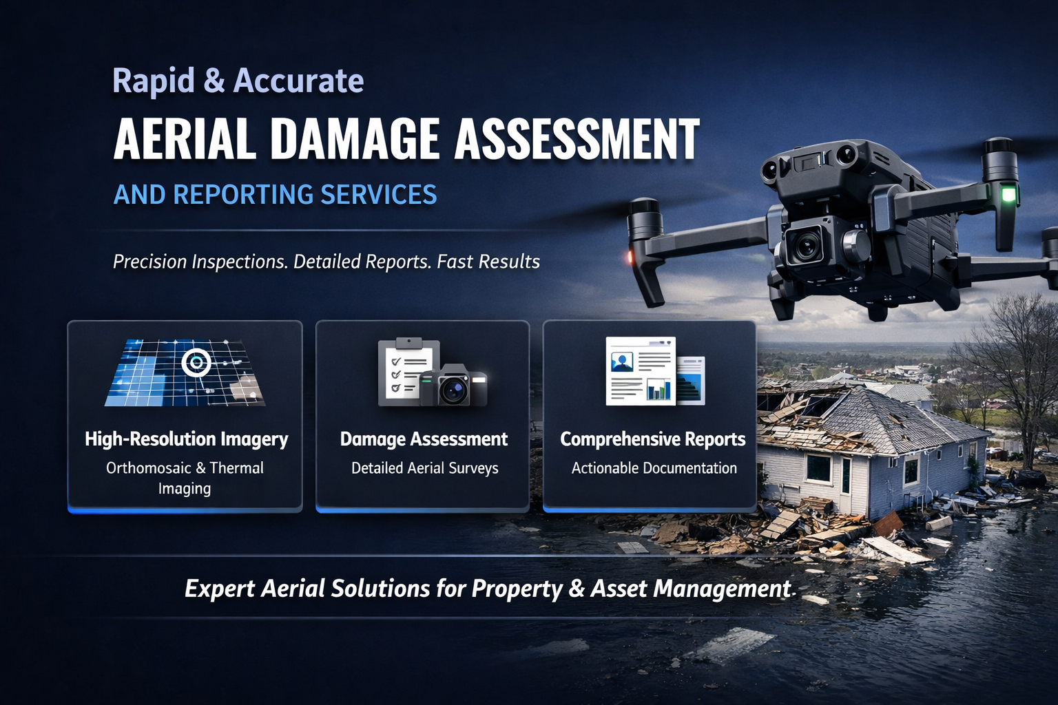
In the wake of severe weather events, accidents, or ongoing structural degradation, swiftly and accurately assessing property damage is paramount for B2B stakeholders such as property managers, insurance adjusters, and construction professionals. Traditional manual inspections are often time-consuming, costly, and carry inherent safety risks, especially when dealing with elevated or compromised structures. This bottleneck can significantly delay insurance claims, remediation efforts, and overall recovery timelines, impacting budgets and reputations.
This is where advanced aerial damage assessment services revolutionize the process. By deploying state-of-the-art drone technology, Onshore Aerial Solutions offers a superior method for capturing detailed, high-resolution data quickly and safely. Our professional approach to visual intelligence reporting provides a clear, objective picture of any damage, transforming raw aerial data into actionable insights for critical decision-making.
This article will delve into how professional aerial damage assessment services expedite recovery, provide comprehensive documentation for all stakeholders, and leverage the power of visual intelligence reporting to deliver reliable data that accelerates claims and restoration. Discover how integrating these advanced services can protect your assets, streamline operations, and minimize downtime in challenging circumstances.
Expediting Damage Assessment with Drone Technology
The speed and scope of damage assessment directly influence the timeline and cost of property recovery. Traditional methods, reliant on ladders, scaffolding, or human climbers, are inherently slow, expensive, and expose personnel to considerable danger, particularly in post-disaster scenarios where structural integrity may be compromised. These manual efforts often yield subjective and incomplete data, leading to disputes and delays.
Drone technology offers a transformative solution, providing unparalleled speed and safety in capturing critical data. Our fleet of advanced unmanned aerial vehicles can quickly survey vast areas or complex structures, reaching heights and angles impossible or impractical for human inspectors. This rapid deployment means damage can be assessed almost immediately after an incident, without putting anyone at risk.
Bridging the Gap: Traditional vs. Drone Assessment
Where traditional methods might take days or weeks to cover large commercial properties or multi-unit complexes, drones can complete the same task in hours. This efficiency is not just about speed; it's about minimizing business interruption and enabling faster commencement of repair work. Furthermore, the objective, measurable data collected by drones reduces reliance on subjective human interpretation, providing a consistent standard of evidence.
Prioritizing Safety and Efficiency
Safety is a cornerstone of our operations. By utilizing drones, we eliminate the need for personnel to access hazardous areas such as unstable rooftops, collapsed structures, or areas with ongoing environmental risks. This significantly reduces the potential for accidents and liability. Beyond safety, the efficiency of aerial data collection translates directly into cost savings by reducing labor hours, equipment rental, and the potential for repeat inspections due to insufficient data.
Accessing Difficult and Dangerous Zones
Damaged areas are often the most challenging to inspect. Roofs may have unsafe pitches, tall facades might be inaccessible, or hazardous materials could be present. Drones effortlessly navigate these environments, capturing high-resolution imagery and thermal data from precise vantage points. This capability ensures that no area, no matter how hard to reach, is overlooked in the damage assessment process, providing a truly comprehensive overview of the situation.
Comprehensive Documentation for Insurance & Remediation
Accurate and thorough documentation is the bedrock of successful insurance claims and effective remediation planning. Without precise visual evidence, property owners, insurance adjusters, and contractors can face prolonged disputes, undervalued claims, and inefficient repair schedules. Our aerial damage assessment services provide an irrefutable visual record that serves as the definitive source of truth for all parties involved.
Leveraging high-resolution RGB photography and advanced thermal imaging, we capture every detail of the damage, from subtle structural anomalies to overt breaches. This comprehensive data set goes far beyond simple photographs, offering quantifiable evidence that supports and strengthens your case during claims processing and guides targeted repair strategies. The precision of this documentation ensures that all damage is identified and accounted for.
High-Resolution Data Capture
Our drones are equipped with advanced cameras capable of capturing ultra-high-resolution imagery, providing crystal-clear views of even minor damage details. This includes everything from cracks in foundations, lifted shingles, compromised facades, to water intrusion points identified via thermal imaging. This level of detail is crucial for assessing the exact scope of repairs needed and for substantiating claims with objective evidence. For large-scale damage mapping, our Precision Mapping: High-Resolution Orthomosaic Imagery for Your Projects services provide georeferenced, distortion-free images that allow for precise measurements and detailed analysis of affected areas.
Irrefutable Evidence for Claims
The objective, timestamped, and geolocated data collected by our aerial systems provides irrefutable evidence of damage. This kind of robust documentation minimizes disputes with insurance providers by presenting a clear, unbiased account of the damage. For adjusters, it streamlines the review process, allowing for quicker approvals and reducing the need for costly secondary inspections. Our visual data speaks volumes, ensuring that all parties operate from the same factual foundation.
Streamlining Remediation and Reconstruction
Beyond insurance, this detailed visual documentation is invaluable for remediation and reconstruction efforts. Contractors can use the precise imagery to plan repair strategies, order materials, and allocate resources more effectively. Having a clear, visual blueprint of the damage from various angles reduces guesswork, prevents oversight, and ultimately helps to keep projects on schedule and within budget. This comprehensive approach also includes capabilities for Advanced Aerial Building Inspections: Comprehensive Condition Assessments which can pre-emptively identify vulnerabilities before disaster strikes.
The Power of Visual Intelligence Reporting
Raw data, no matter how detailed, is only truly powerful when it's transformed into actionable intelligence. At Onshore Aerial Solutions, our professional visual intelligence reporting goes beyond simply delivering images; we provide context, analysis, and clarity. We synthesize complex aerial data into user-friendly reports that empower property managers, insurance adjusters, and commercial property owners to make informed decisions quickly and confidently.
Our expertise lies in interpreting what the imagery reveals. We understand the specific needs of B2B clients, whether it's documenting the progression of damage over time, identifying critical areas for immediate attention, or providing a comprehensive overview for strategic planning. This focus on actionable insights distinguishes our service from simple drone photography, positioning us as a vital partner in managing and mitigating property risks.
Beyond Raw Data: Actionable Insights
We don't just hand over a collection of images. Our team processes the collected data, annotating key areas of damage, measuring dimensions, and highlighting critical observations. This level of analysis turns disparate data points into coherent, actionable insights. For example, rather than just seeing a damaged roof, our report might identify the specific type of damage, its severity, and potential causes, alongside precise measurements for repair. This detailed perspective helps clients prioritize repairs and allocate resources efficiently.
Custom Reporting for Specific Needs
Every damage assessment scenario is unique, and our reporting reflects this. We offer customizable reports tailored to the specific requirements of our clients and their stakeholders. Whether you need a concise executive summary for property owners, a detailed technical report for engineers, or a comprehensive package for insurance claims, we can adapt our output. This ensures that every recipient gets the information they need in the most digestible and useful format. This personalized approach is a core component of our Unlock Critical Insights: Professional Visual Intelligence Services for B2B.
Proactive Decision-Making
With our visual intelligence reporting, decision-makers are equipped with the full scope of information needed to act proactively. This means faster repair approvals, more accurate budgeting, and reduced risk of secondary damage. Understanding the exact nature and extent of damage empowers businesses to plan their recovery strategy with precision, minimizing operational disruption and protecting their bottom line.
Reliable Data for Faster Claims and Recovery
The ultimate goal of rapid and accurate aerial damage assessment is to accelerate the claims process and facilitate a swift, efficient recovery. For businesses, extended downtime can translate into significant financial losses and reputational damage. Our services are specifically designed to mitigate these impacts by providing the reliable, verifiable data that insurance companies demand and that remediation teams require for efficient execution.
By leveraging cutting-edge technology and a commitment to precision, Onshore Aerial Solutions ensures that every detail of property damage documentation is captured with scientific accuracy. This level of professional insight aids in achieving fair and timely claim settlements, enabling businesses to get back to full operation as quickly as possible following an incident or for ongoing condition monitoring.
Accelerated Claims Processing
For insurance adjusters, the availability of comprehensive, high-resolution aerial data significantly cuts down on assessment time. They can review damage from their desks, eliminating the need for multiple site visits and risky physical inspections. This streamlined process leads to quicker claim verification and payout, benefiting both the insurer and the policyholder. Our reports provide the clarity and evidence needed to move claims forward without unnecessary delays.
Enhanced Stakeholder Collaboration
Effective post-disaster inspection and recovery require seamless collaboration among various stakeholders: property owners, facility managers, insurance adjusters, contractors, and legal teams. Our visual intelligence reports serve as a universal language, providing an objective visual reference that everyone can understand and agree upon. This shared understanding minimizes miscommunication and disputes, fostering a more collaborative and efficient recovery effort.
Long-Term Asset Management and Risk Mitigation
Beyond immediate disaster response, our detailed aerial damage assessment data contributes to a robust long-term asset management strategy. By establishing a baseline of property condition and documenting changes over time, businesses can identify recurring issues, track the effectiveness of repairs, and proactively address potential vulnerabilities before they escalate. This forward-thinking approach to property damage documentation helps in mitigating future risks and preserving asset value.
Frequently Asked Questions (FAQ)
Q: What types of damage can drones assess?
A: Drones can effectively assess a wide range of damage, including structural issues, roof damage (e.g., missing shingles, leaks, hail damage), facade damage, water intrusion points (via thermal imaging), foundation cracks, solar panel damage, and general wear and tear on commercial properties. They are particularly useful for large, complex, or hard-to-reach structures.
Q: How quickly can you deploy for damage assessment?
A: Our professional teams are equipped for rapid deployment. In many cases, we can be on-site and begin data collection within 24-48 hours of an initial request, depending on location and local regulations. Our goal is to provide timely data to expedite your recovery process.
Q: Is aerial damage assessment accepted by insurance companies?
A: Yes, aerial damage assessment is increasingly accepted and even preferred by insurance companies due to its accuracy, comprehensiveness, and the objective nature of the data. Our detailed visual intelligence reports provide the high-quality evidence required to support and accelerate claim processing.
Q: What kind of deliverables can I expect?
A: You can expect high-resolution imagery (RGB and thermal), detailed orthomosaic maps, 3D models of structures, annotated visual reports highlighting damage specifics, and comprehensive visual intelligence summaries tailored to your specific needs. All data is georeferenced and presented in an easily digestible format.
Conclusion
The era of slow, dangerous, and incomplete damage assessments is over. With Onshore Aerial Solutions, businesses now have access to a sophisticated, efficient, and highly accurate method for documenting and analyzing property damage. Our rapid aerial damage assessment and visual intelligence reporting services are not just about deploying drones; they are about delivering actionable insights that protect your assets, streamline your operations, and accelerate your recovery.
By providing comprehensive property damage documentation, we empower property managers, commercial property owners, construction managers, and insurance adjusters with the reliable data needed to make informed decisions. Minimize downtime, reduce safety risks, and expedite your insurance claims and remediation efforts. Don't let uncertainty prolong your recovery.
Ready to transform your approach to property damage assessment? Request a Consultation with Onshore Aerial Solutions today and discover how our expert visual intelligence services can benefit your business.